Geodesy terms in French
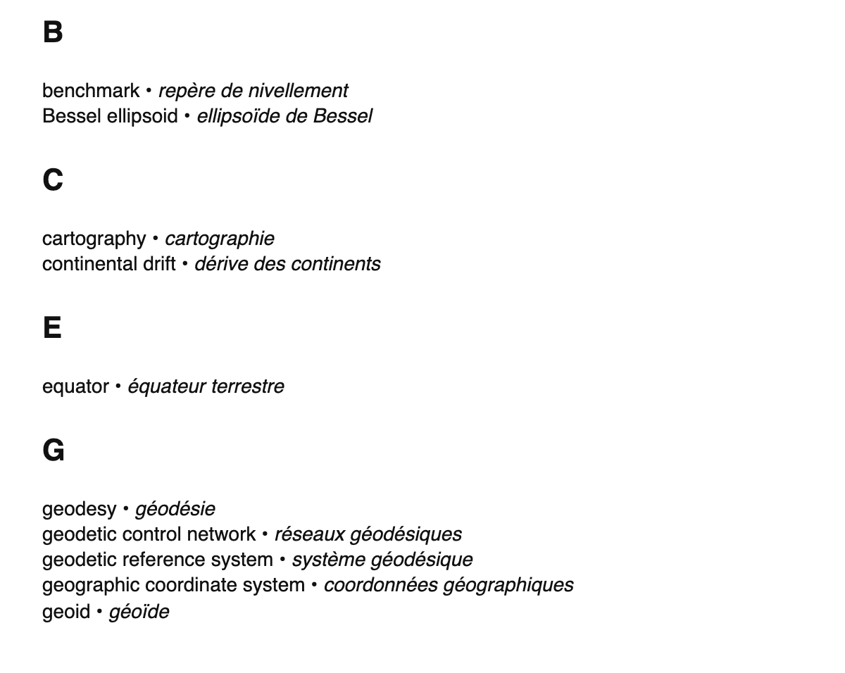
The list of French translations of geodesy terms, sorted alphabetically according to each term's English name.
B
- benchmark • repère de nivellement
- Bessel ellipsoid • ellipsoïde de Bessel
C
- cartography • cartographie
- continental drift • dérive des continents
E
- equator • équateur terrestre
G
- geodesy • géodésie
- geodetic control network • réseaux géodésiques
- geodetic reference system • système géodésique
- geographic coordinate system • coordonnées géographiques
- geoid • géoïde
- geophysics • géophysique
- Global Positioning System • Global Positioning System
- gravitational field • champ gravitationnel
- gravity anomaly • anomalie gravitationnelle
- great circle • grand cercle
H
- Helmert transformation • transformation de Helmert
I
- inertial navigation system • navigation inertielle
L
- latitude • latitude
- levelling • nivellement
- longitude • longitude
M
- map projection • projection cartographique
- Mercator projection • projection de Mercator
P
- photogrammetry • photogrammétrie
- prime meridian • premier méridien
R
- reference ellipsoid • modèle ellipsoïdal de la Terre
- remote sensing • télédétection
S
- satellite geodesy • Géodésie satellitaire
- satellite imagery • imagerie satellite
- satellite laser ranging • Télémétrie laser sur satellites
- sea level • niveau de la mer
- spatial reference system • système de coordonnées
- spheroid • ellipsoïde de révolution
- spirit level • niveau à bulle
- surveying • arpentage
T
- theodolite • théodolite
- tide gauge • marégraphe
- topography • topographie
- total station • tachéomètre
- triangulation • triangulation
- trilateration • trilatération
U
- Universal Transverse Mercator • Transverse Universelle de Mercator
V
- vertical datum • Référent altimétrique
- very-long-baseline interferometry • Interférométrie à très longue base
W
- World Geodetic System • WGS